Connectez-vous/S’inscrire
Votre e-mail a été envoyé.

Land to North West of Stonehenge Road Lot | Résidentiel | 2,63 ha | À vendre | Durrington SP4 8BY
Certaines informations ont été traduites automatiquement.
Informations principales sur l'investissement
- Freehold With Vacant Possession
- Residential Development Potential
- Subject to Planning
- Greenfield Site
- Including Provision of Public Open Space
Résumé analytique
The site was formerly used as farmland until 2004, thereafter leased for many years to Durrington Town Council for open space and recreation purposes. The current owners explored development potential via community engagement and with the support of Durrington Town Council, obtained a positive pre-app response dated 28 July 2023 from Wiltshire Council to provide 14 dwellings on 15% of the site, with a Public Open Space on the remainder. Wiltshire Council has not met its 5 year housing supply target and the Government Planning Inspector rejected their proposed Local Plan (2020 to 2038) in January 2026, increasing the opportunity for speculative proposals capable of fulfilling housing demand.
Offers are invited for the freehold.
Offers are invited for the freehold.
Informations sur l’immeuble
| Type de vente | Investissement | Sous-type de bien | Résidentiel |
| Droit d’usage | Pleine propriété | Usage proposé | Développement de lot unifamilial |
| Nb de lots | 1 | Surface totale du lot | 2,63 ha |
| Type de bien | Terrain |
| Type de vente | Investissement |
| Droit d’usage | Pleine propriété |
| Nb de lots | 1 |
| Type de bien | Terrain |
| Sous-type de bien | Résidentiel |
| Usage proposé | Développement de lot unifamilial |
| Surface totale du lot | 2,63 ha |
1 Lot disponible
Lot
| Surface du lot | 2,63 ha |
| Surface du lot | 2,63 ha |
6.49 ace plot of greenfield land.
Description
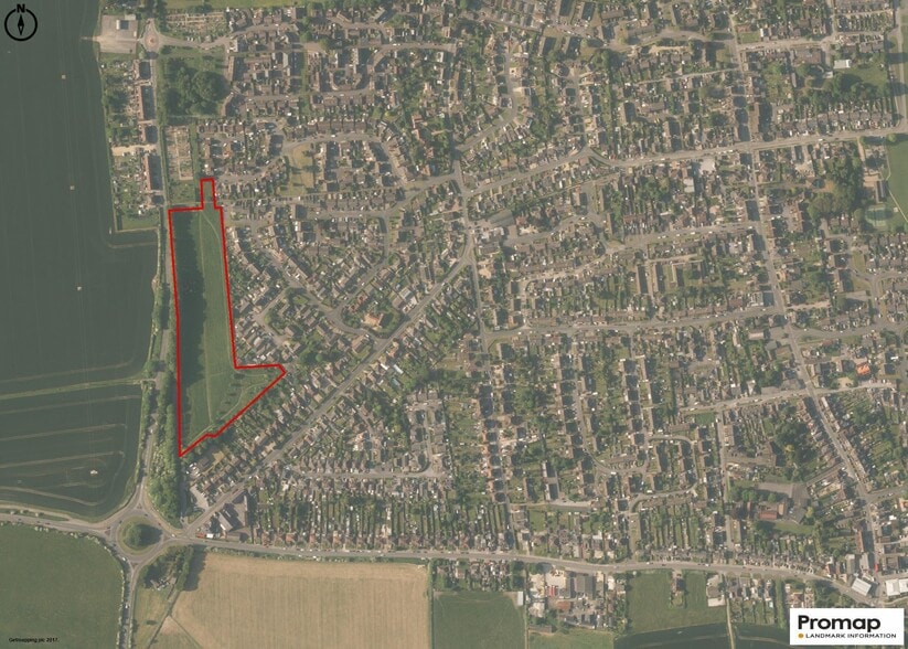
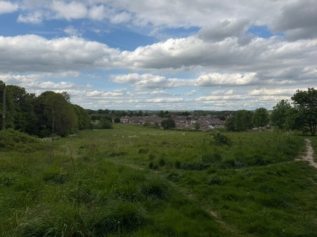
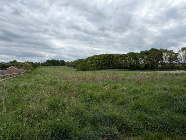
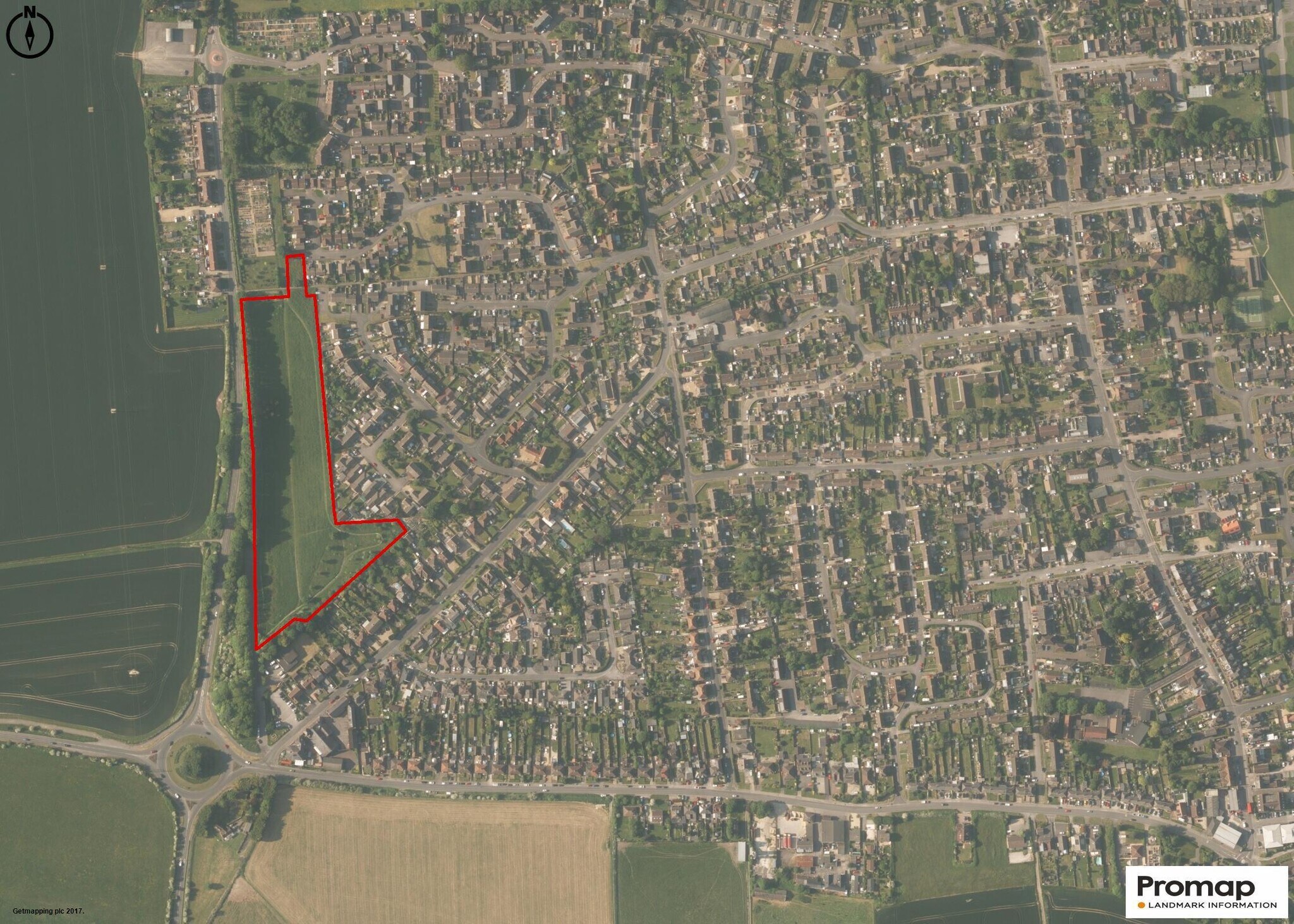
The site comprises a greenfield site of 6.498 acres (2.63 ha), with natural sloping topography from the southern to the northern boundary. Access to the site is at the south western corner off the Stonehenge Road, along the old A345, still owned by Wiltshire Council, over which there are full rights of access. There is also a right of access at the north east corner from Willow Drive.
1 1


1 sur 6
Vidéos
Visite extérieure 3D Matterport
Visite 3D
Photos
Street view
Rue
Carte
1 sur 1

Présenté par
Land to North West of | Stonehenge Road

Vous êtes déjà membre ? Connectez-vous
Hum, une erreur s’est produite lors de l’envoi de votre message. Veuillez réessayer.
Merci ! Votre message a été envoyé.