Votre e-mail a été envoyé.
N Abram Rd
Mission, TX 78572
Terrain À vendre
·
85,79 ha
Certaines informations ont été traduites automatiquement.
Informations principales sur l'investissement
- Highly productive alluvial floodplain soils, and direct river frontage.
Informations sur l’immeuble
| Type de vente | Investissement ou propriétaire occupant | Usage proposé | Commercial |
| Nb de lots | 1 | Surface totale du lot | 85,79 ha |
| Type de bien | Terrain | Zone de développement économique [USA] |
Oui
|
| Sous-type de bien | Terrain commercial |
| Type de vente | Investissement ou propriétaire occupant |
| Nb de lots | 1 |
| Type de bien | Terrain |
| Sous-type de bien | Terrain commercial |
| Usage proposé | Commercial |
| Surface totale du lot | 85,79 ha |
| Zone de développement économique [USA] |
Oui |
1 Lot disponible
Lot
| Prix | 936 854 € | Surface du lot | 85,79 ha |
| Prix par ha | 10 919,89 € |
| Prix | 936 854 € |
| Prix par ha | 10 919,89 € |
| Surface du lot | 85,79 ha |
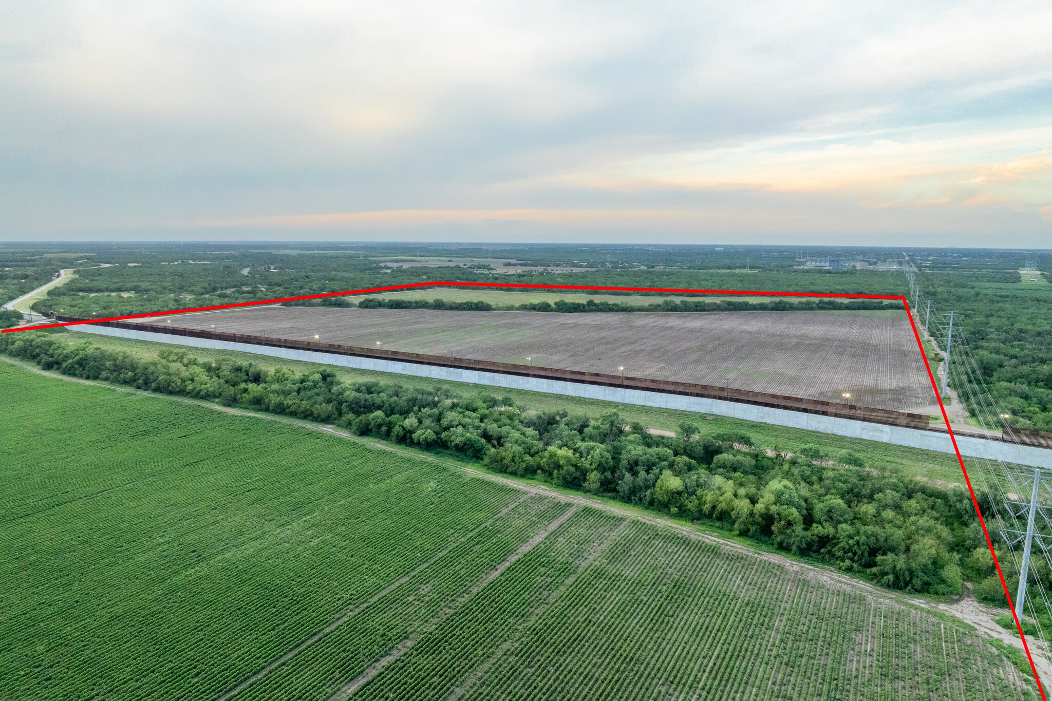
A premier irrigated farm in the western Lower Rio Grande Valley, this property spans two contiguous parcels with the south tract fronting the Rio Grande for nearly 2,500 feet along the international border. Highly productive alluvial floodplain soils
Description
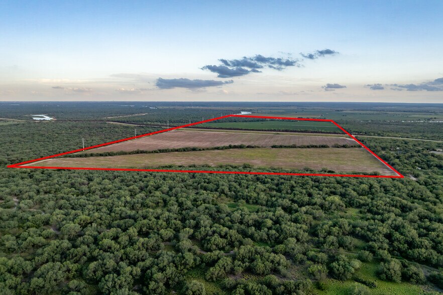
A premier irrigated farm in the western Lower Rio Grande Valley, this property spans two contiguous parcels with the south tract fronting the Rio Grande for nearly 2,500 feet along the international border. Highly productive alluvial floodplain soils, and direct river frontage. LOCATION The farm is in the western portion of Hidalgo County, south of the Abram community. It is positioned in two contiguous parcels divided by the CBP border fence, and service road. The south parcel extending to the Rio Grande and the international border with Mexico. The property is approximately 7 miles west of Mission, Texas, and 15 miles west of McAllen, Texas. TOPOGRAPHY, RANGELAND & HABITAT The topography of the farm is nearly level, characteristic of the lower Rio Grande floodplain, with gentle elevation differences across the two parcels. The soils are identified as Reynosa silty clay loam, Runn silty clay; Rio Grande silty clay loam; and Matamoros silty clay — all alluvial soils formed in Rio Grande sediments and recognized as some of the most productive irrigated farmland soils in the Lower Rio Grande Valley. The property lies within the FEMA floodplain associated with the Rio Grande. WILDLIFE In this area, you generally see White-Tailed deer, Dove, Javelina, Rio Grande turkeys, Chacalacas, and a wide variety of resident and migratory birds drawn to the Rio Grande corridor and adjacent U.S. Fish & Wildlife Service refuge tracts. AGRICULTURE This property has historically been used as a farming operation and is under agricultural valuation for tax purposes. IMPROVEMENTS No Improvements. WATER The south parcel fronts the Rio Grande for nearly 2,500 ft. Irrigation water rights and water district status to be confirmed. ELECTRICITY Electricity is available along Abram Road and Military Road. MINERALS Seller reserves all mineral rights
Taxes foncières
| Numéro de parcelle | 10048-00-000-0076-16 | Évaluation des aménagements | 0 € |
| Évaluation du terrain | 67 696 € | Évaluation totale | 67 696 € |
Taxes foncières