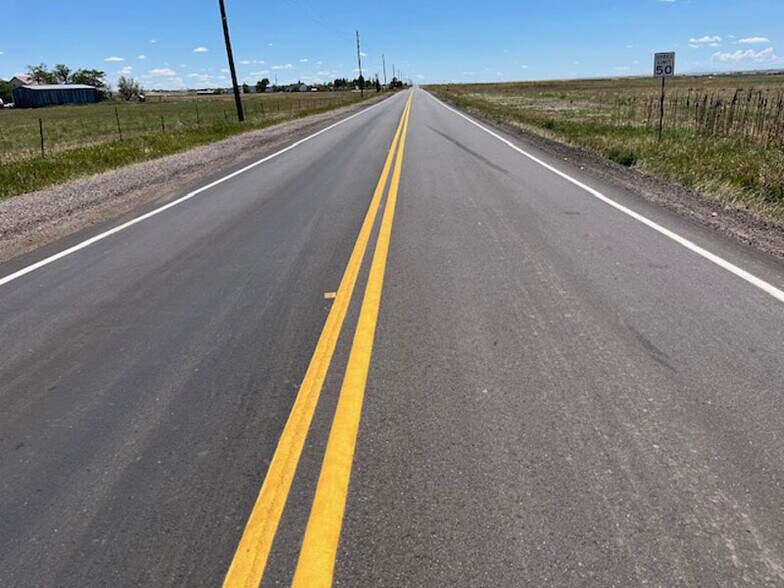
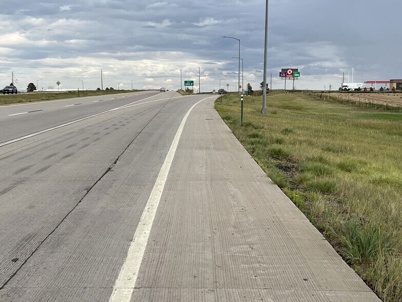
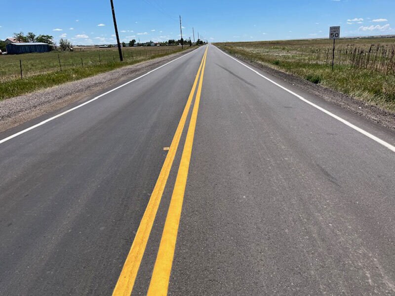
ADDRESS: The Property is located on the SW corner of Manila Rd and CR 6 1 mile South of I-70 or 3/4 mile South of Circle K at 1495 Manila Road Bennett CO 80102.
GOOGLE MAPS: link https://www.google.com/maps/place/39%C2%B043'23.8%22N+104%C2%B031'40.8%22W/@39.7227377,-104.5297315,994m/data=!3m1!1e3!4m4!3m3!8m2!3d39.7232869!4d-104.527992!18m1!1e1?entry=ttu&g_ep=EgoyMDI2MDYxNi4wIKXMDSoASAFQAw%3D%3D
ACREAGE: 374.43 acres per Arapahoe Couty Parcel Number: 1979-00-0-00-601
ZONING: Property is currently zoned A1 Agricultural which allows a minimum lot size of 35 acre sites as is or 19 acre parcels by subdividing with Arapahoe County and classified as Urban Reserve Tier 1. Otherwise this is a large Property located off a major intersection on a major highway near a major city ideal to be rezoned for a Mixed Use Commercial, Industrial and residential planned development.
WATER: Water Right Determinations Denver 4555-BD 153 annual acre feet,
Upper Arapahoe 4554-BD 92.9 annual acre feet,
Lower Arapahoe 4553-BD 52.4 annual acre feet.
Laramie-Fox Hills 4552-BD 110 annual acre feet
together comprise a total of 408.4 acre annual acre feet of water subject to the Denver Aquifer 4% replacement requirement all with the Lost Creek Designated Groundwater Basin and Management District.
CURRENT USE: Vacant farm land currently not farmed.
MINERALS: All or most mineral rights have been reserved by previous owners.
TAXES: 2025 annual property tax was $475.00
SCHOOL: Bennett School District 29J for elementary, middile and high schools.
NOTE: The information contained herein has been obtained from reliable sources but, is not guaranteed by Seller or Broker. This offer is subject to error, change, prior sale or withdrawal. Broker is a Transaction (neutral) Broker and not a Seller’s agent.