Connectez-vous/S’inscrire
Votre e-mail a été envoyé.

Land at Swinfen Lichfield Lot | Ferme | 44,52 ha | À vendre | Lichfield WS14 9QE
Certaines informations ont été traduites automatiquement.
Informations principales sur l'investissement
- Strategic location.
- Freehold for sale.
- Proximity to national motorway network.
- Total site area: Approximately 110 acres (44 hectares).
Résumé analytique
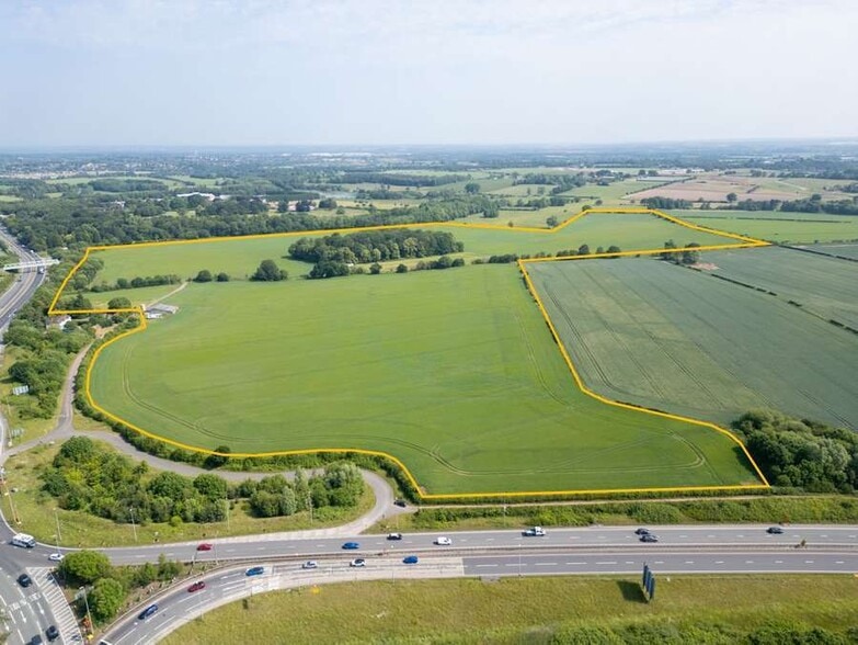
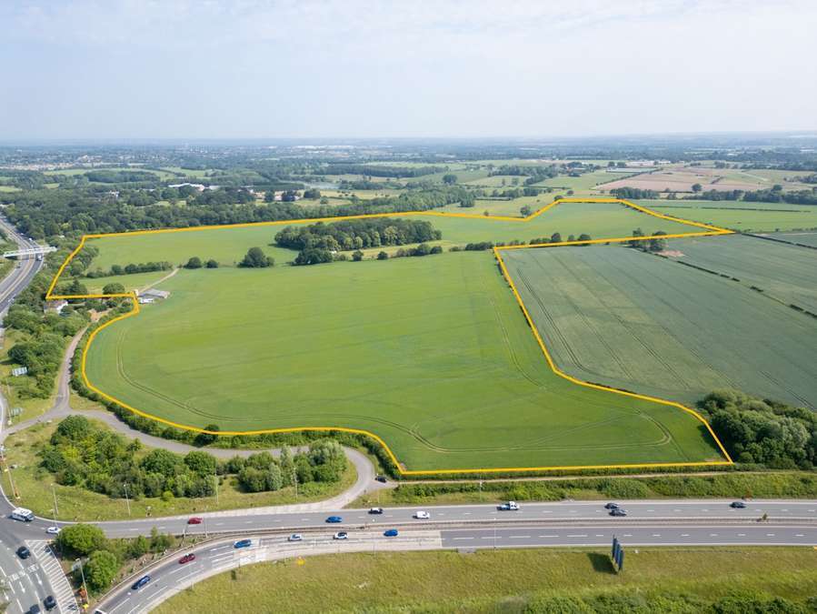
The property comprises 110 acres (44 hectares) of agricultural land immediately to the north of the A5, Hints Bypass, which forms the southern boundary of the site. The site is within the Green Belt. To the north the site is bound by mature trees separating the site from Swinfen Hall (a Grade II* listed building), with agricultural land forming the eastern boundary. The western boundary of the site predominately comprises mature trees separating the site from the A38. An existing outbuilding is located on the western boundary adjacent to the vehicular access. Vehicular access to the property is via a direct access from the Weeford Interchange which also serves the residential properties adjacent to the site on the western boundary. The access is within the freehold ownership of the Secretary of State held under title number SF566529. Parties are advised to make their own enquiries as to the suitability of this access for any future development.
Informations sur l’immeuble
| Type de vente | Investissement | Sous-type de bien | Ferme |
| Droit d’usage | Pleine propriété | Usage proposé | |
| Nb de lots | 1 | Surface totale du lot | 44,52 ha |
| Type de bien | Terrain |
| Type de vente | Investissement |
| Droit d’usage | Pleine propriété |
| Nb de lots | 1 |
| Type de bien | Terrain |
| Sous-type de bien | Ferme |
| Usage proposé | |
| Surface totale du lot | 44,52 ha |
1 Lot disponible
Lot
| Surface du lot | 44,52 ha |
| Surface du lot | 44,52 ha |
Future Development Potential (Subject To Planning) The site occupies a strategic location at the Weeford Interchange.
Description
The site occupies a strategic location at the Weeford Interchange, which connects the A38 with the A5 and M6 approximately 4.7 miles (7.6 km) to the south of Lichfield and 3.4 miles (5.5km) east of Shenstone. The A5 is one of the Midlands’ most important east-west transport corridor linking Lichfield with the West Midlands, North Wales and London.
1 1

1 sur 2
Vidéos
Visite extérieure 3D Matterport
Visite 3D
Photos
Street view
Rue
Carte
1 sur 1

Présenté par
Land at Swinfen Lichfield
Vous êtes déjà membre ? Connectez-vous
Hum, une erreur s’est produite lors de l’envoi de votre message. Veuillez réessayer.
Merci ! Votre message a été envoyé.