|

|
Certaines informations ont été traduites automatiquement.
TAXES ET FRAIS D’EXPLOITATION (RÉEL - 2025) Cliquez ici pour accéder à |
ANNUEL | ANNUEL PAR m² |
|---|---|---|
| Taxes |
-

|
-
|
| Frais d’exploitation |
-
|
-
|
| Total des frais |
$99,999
|
$9.99
|
| RUE COLLECTRICE | RUE TRANSVERSALE | VOLUME DE TRAFIC | ANNÉE | Distance |
|---|---|---|---|---|
| Keys Ferry Street | Macon St, E | 13 347 | 2025 | 0,08 km |
| Hampton Street | Macon St, E | 12 915 | 2020 | 0,08 km |
| Keys Ferry St | Macon St, E | 13 194 | 2024 | 0,08 km |
| Keys Ferry St | Ice St, E | 13 819 | 2025 | 0,11 km |
| Macon St | Keys Ferry St, S | 6 930 | 2023 | 0,11 km |
| Macon Street | Keys Ferry St, S | 7 060 | 2025 | 0,11 km |
| Griffin St | Keys Ferry St, S | 16 302 | 2023 | 0,12 km |
| Atlanta Street | Keys Ferry St, S | 16 284 | 2025 | 0,12 km |
| John Frank Ward Boulevard | Jonesboro St, W | 14 304 | 2025 | 0,15 km |
| Covington Street | Ice St, E | 12 700 | 2021 | 0,15 km |


| Numéro de parcelle | 0M09-02-011-000 | Évaluation des aménagements | 174 830 € (2024) |
| Évaluation du terrain | 23 515 € (2024) | Évaluation totale | 198 346 € (2024) |
 166A7983
 166A8004
 166A8001
 166A7998
 166A7995
 166A7992
 166A7989
 166A7977
 166A7974
 166A7968
 166A8055
 166A8049
 166A8046
 166A8043
 166A8040
 166A8034
 166A8031
 166A8019
 166A8016
 166A8061
 166A8052
 166A8037
 166A8028
 166A8025
 166A8022
 166A7986
 166A7980
 166A7971
 166A8058
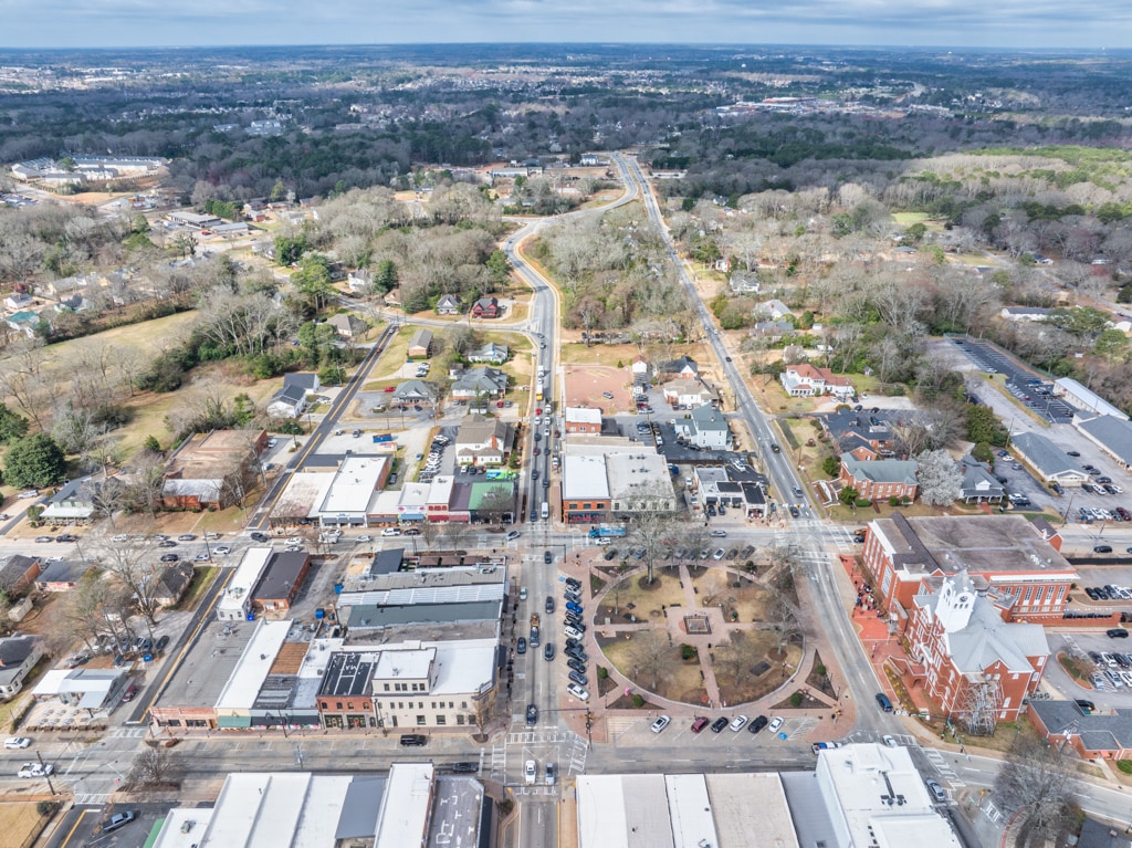
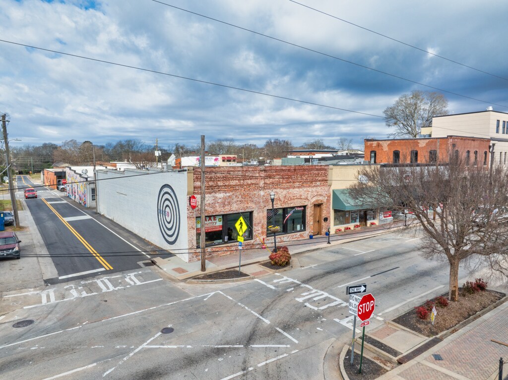 DJI_20250304101513_0046_D-Edit
 166A7965-Edit
 166A7964-Edit
 166A7961-Edit
 166A7960-Edit
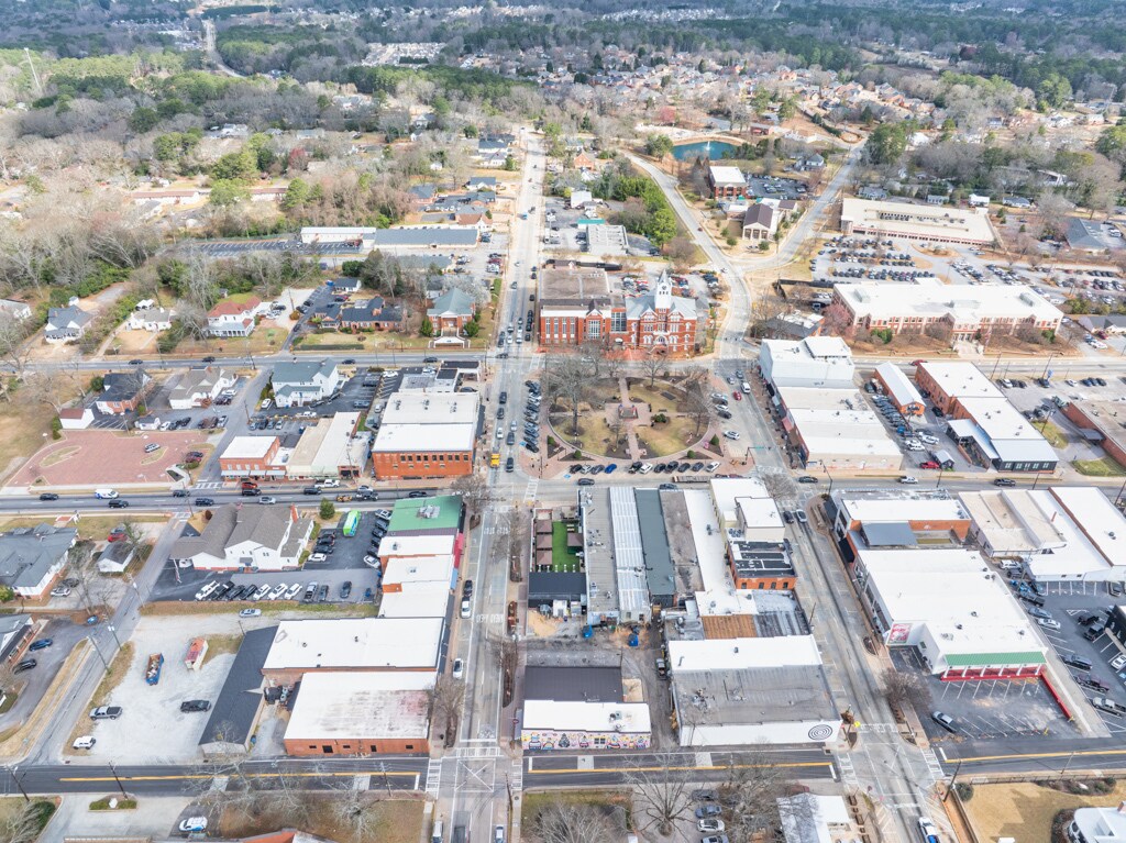
 DJI_20250304101946_0054_D-Edit
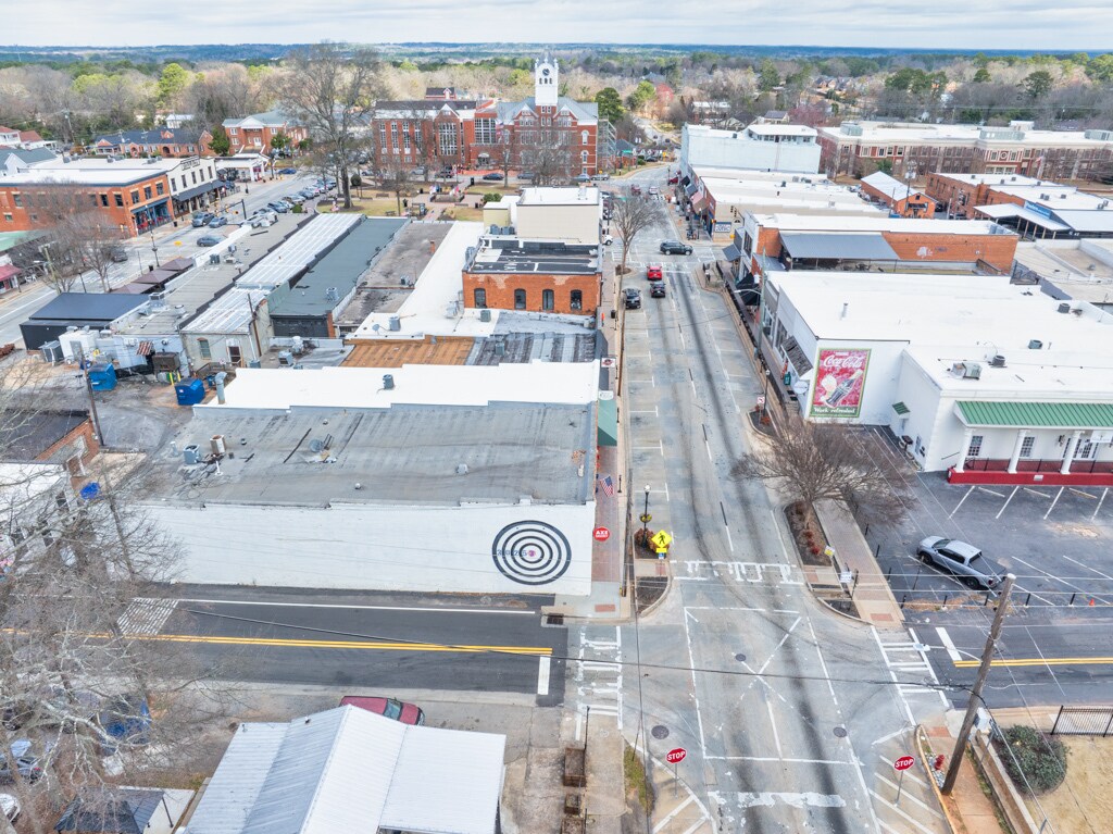
 DJI_20250304101853_0053_D-Edit
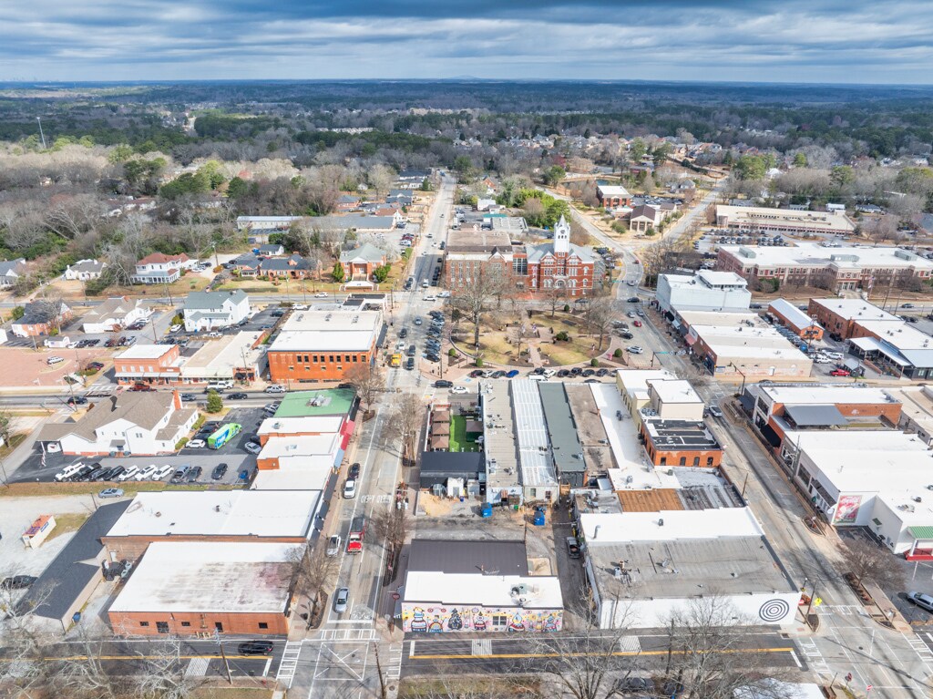
 DJI_20250304101811_0052_D-Edit
 DJI_20250304102159_0056_D-Edit
 DJI_20250304101754_0051_D-Edit
 DJI_20250304101721_0050_D-Edit
 DJI_20250304101659_0049_D-Edit
 DJI_20250304101604_0048_D-Edit
 DJI_20250304101754_0051_D-Edit-Edit
 DJI_20250304101659_0049_D-Edit-Edit
 DJI_20250304101538_0047_D-Edit-Edit
 DJI_20250304102128_0055_D-Edit
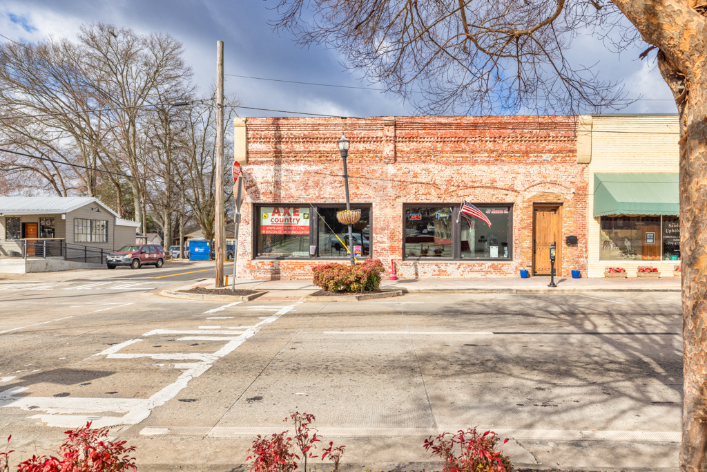
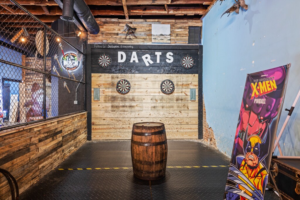
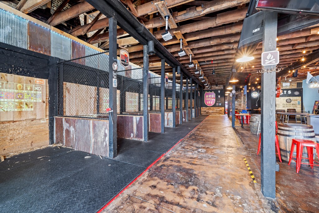
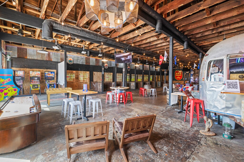
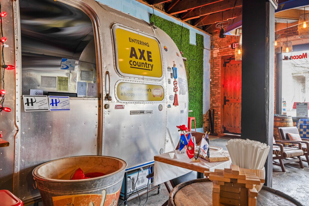
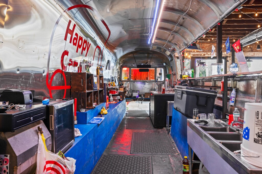
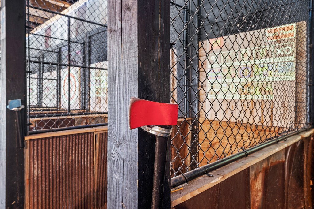
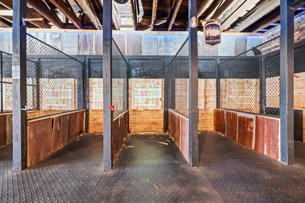
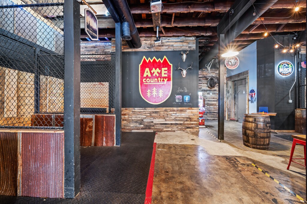
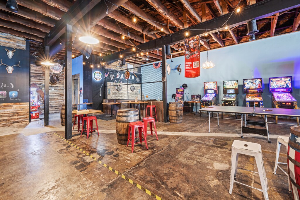
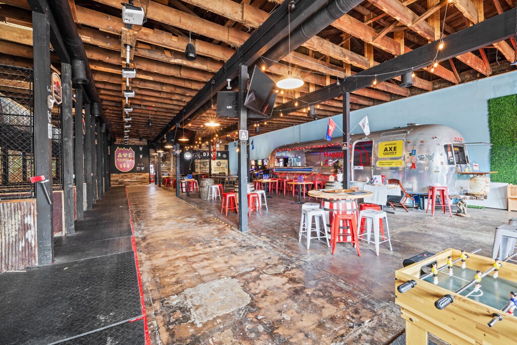
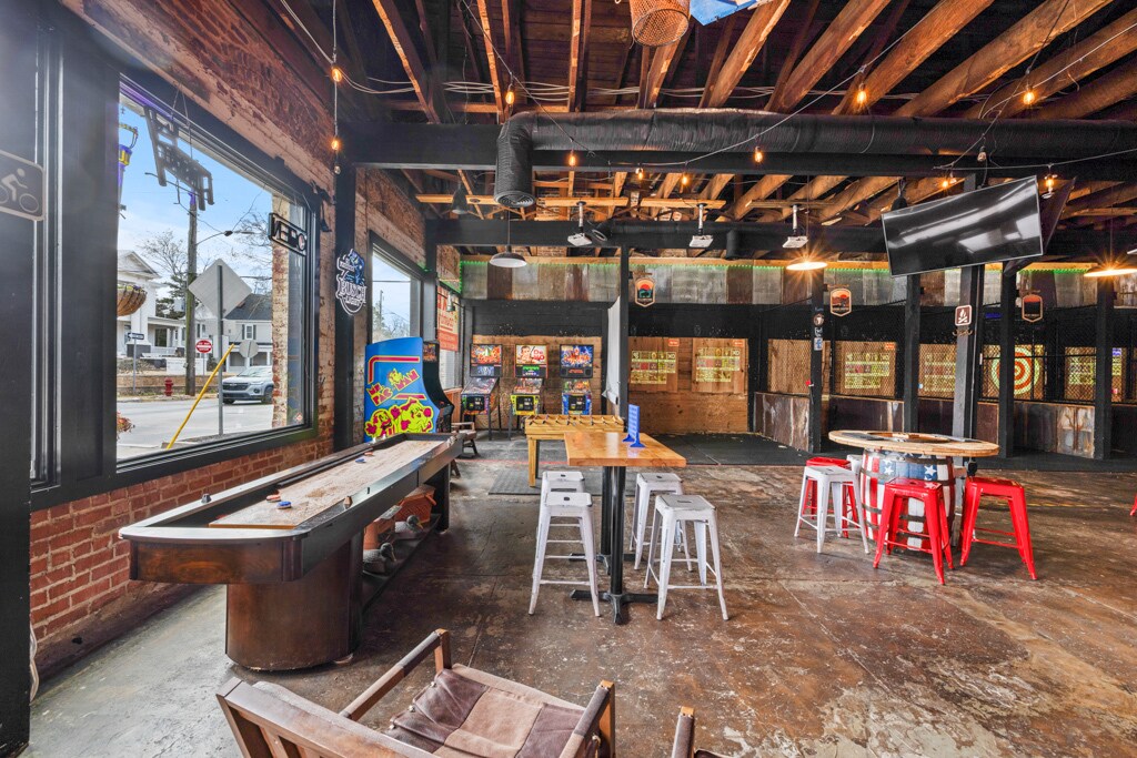
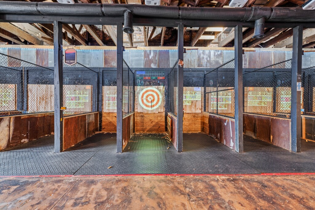
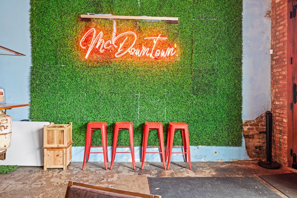
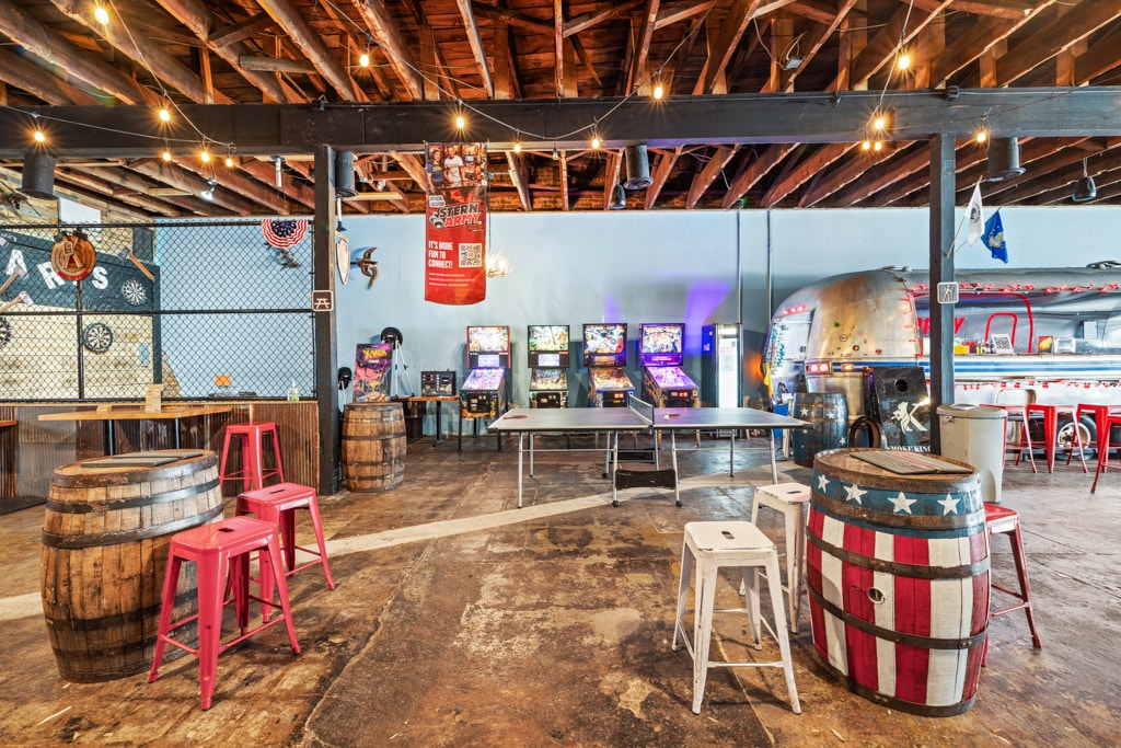
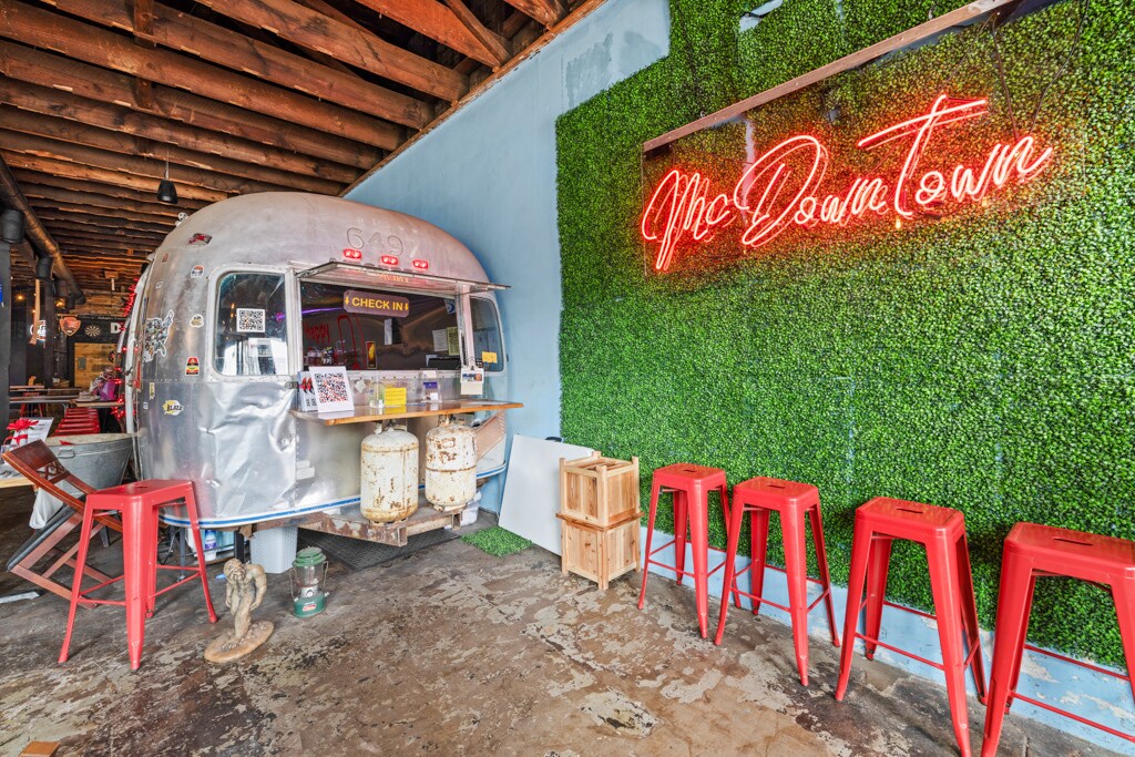
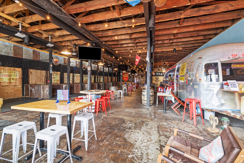
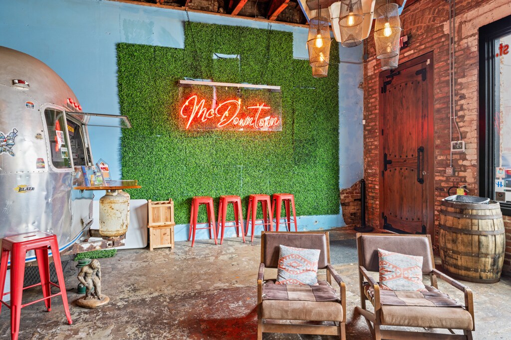
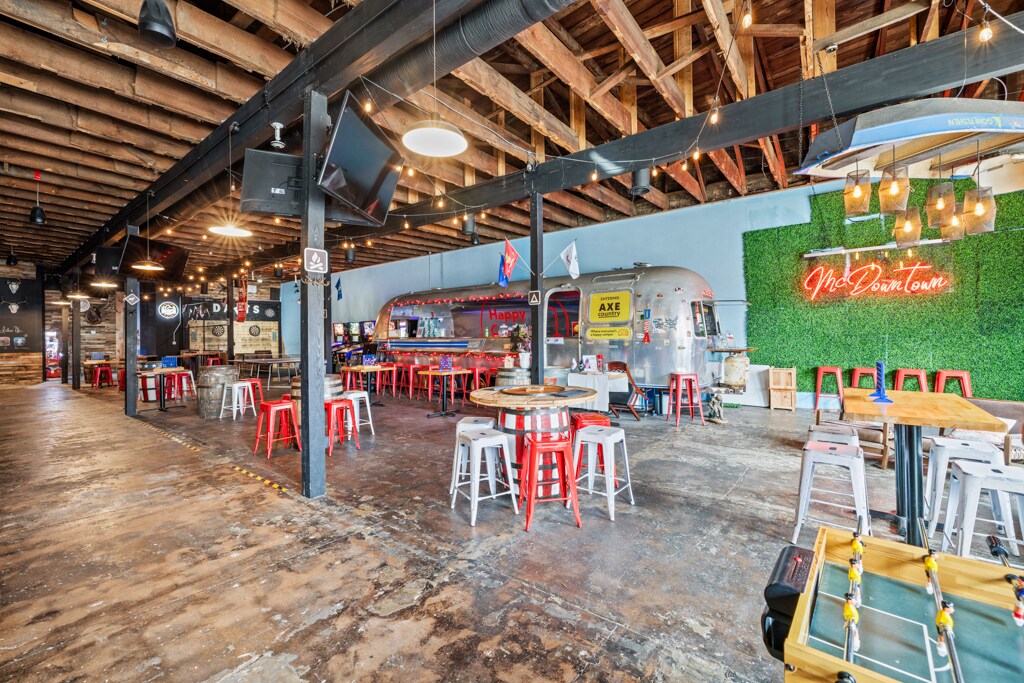
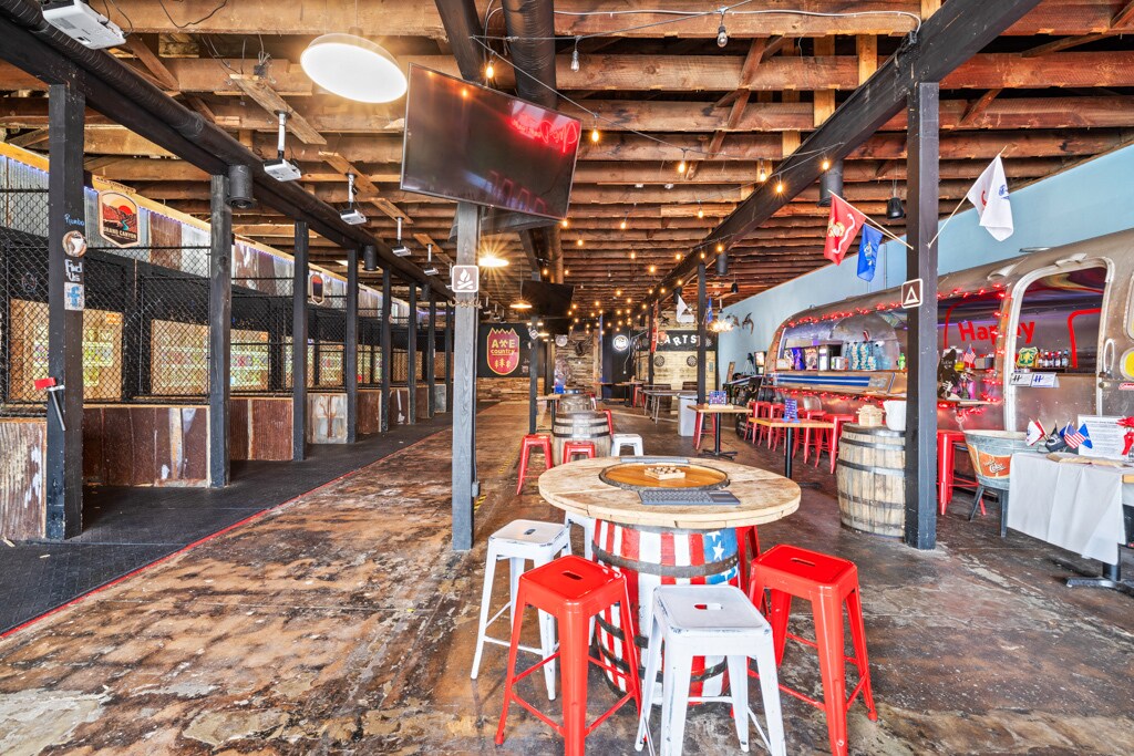
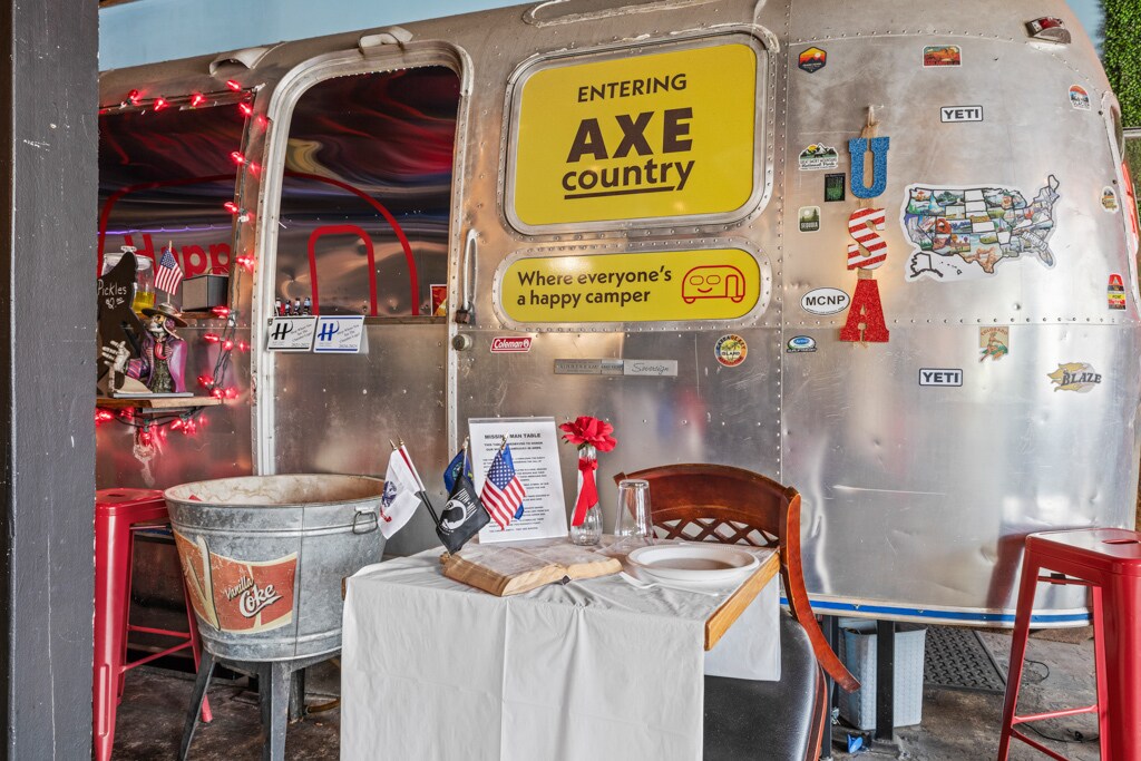
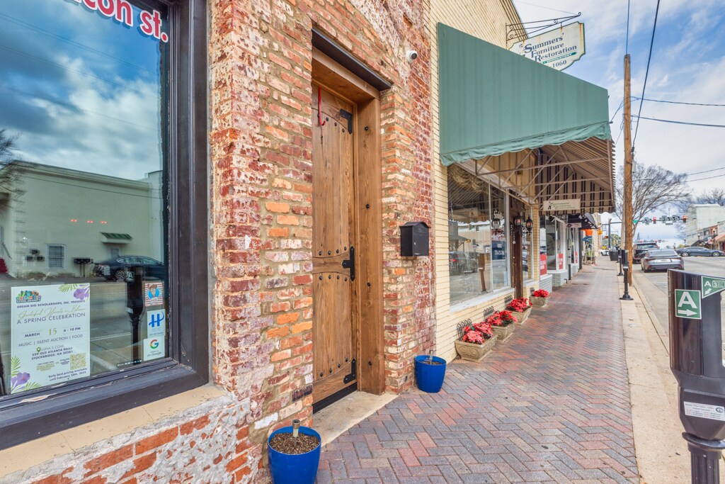
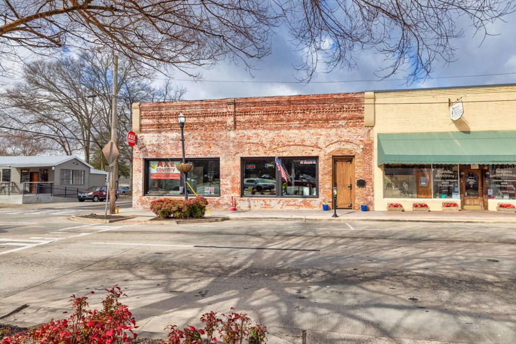
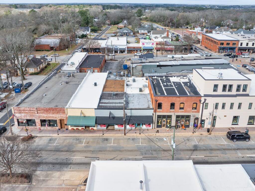
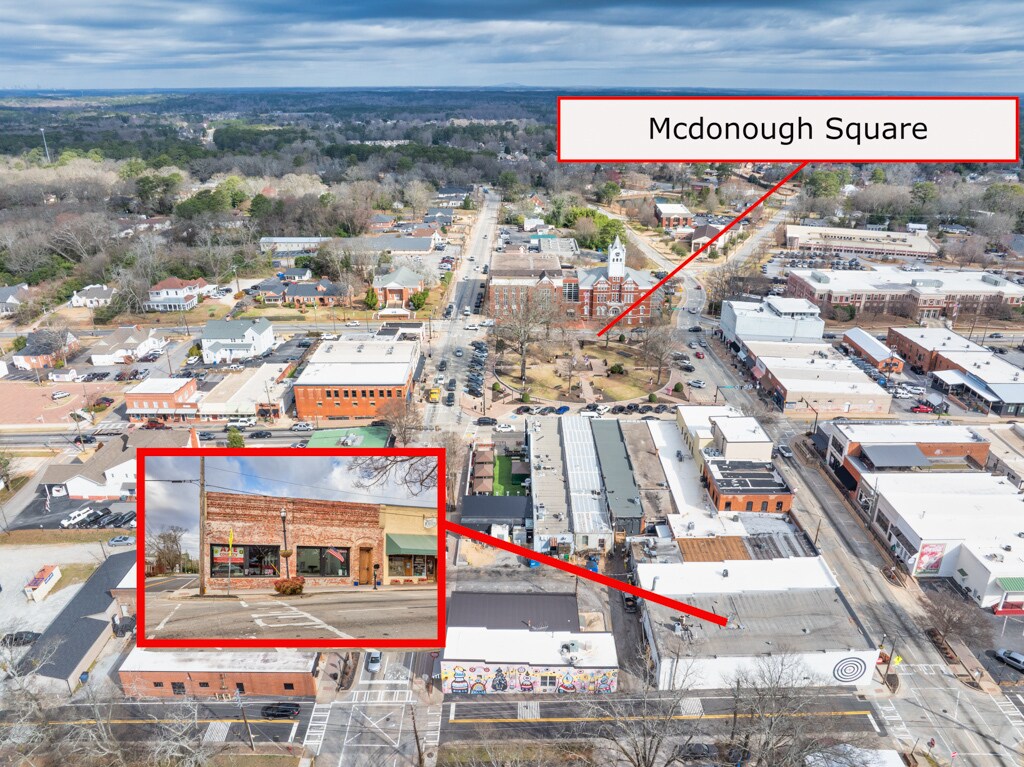
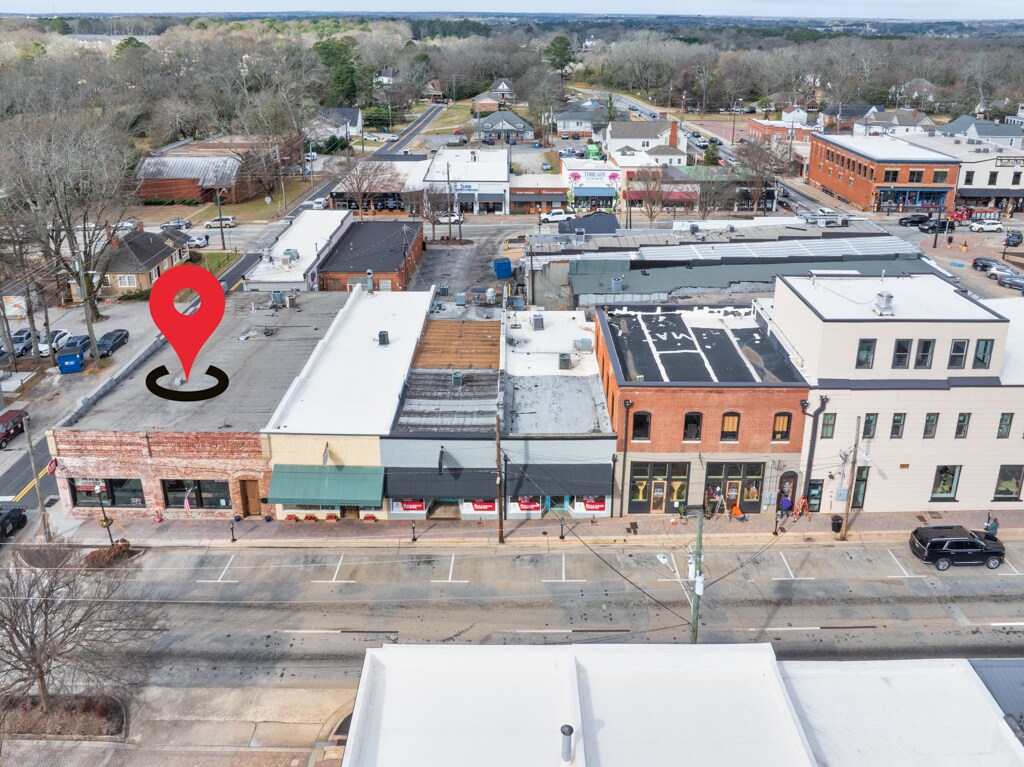
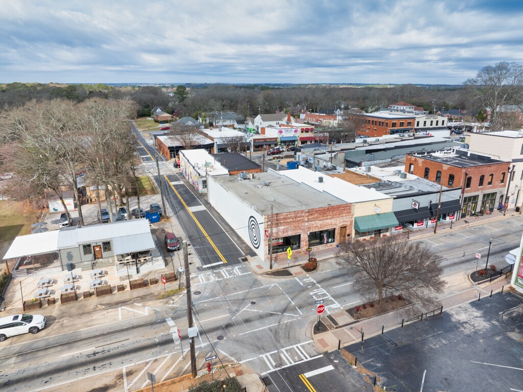
 Building Photo
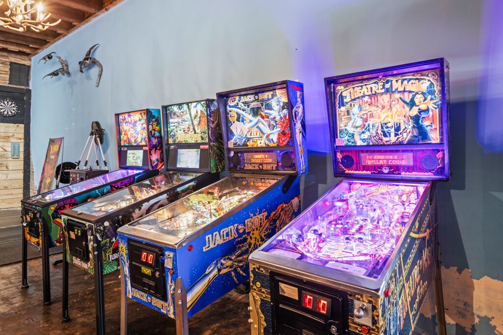
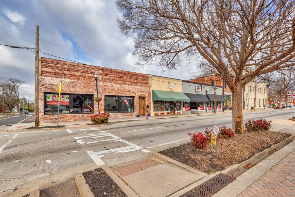
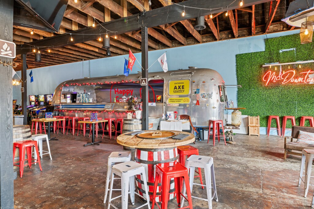
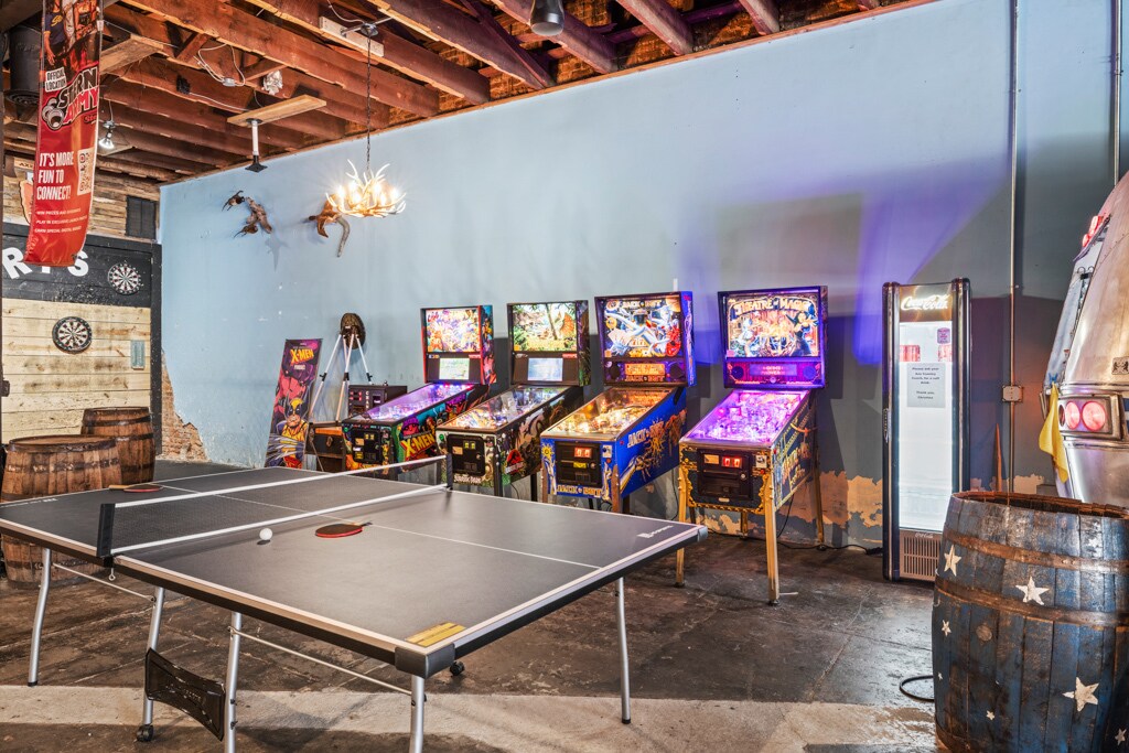
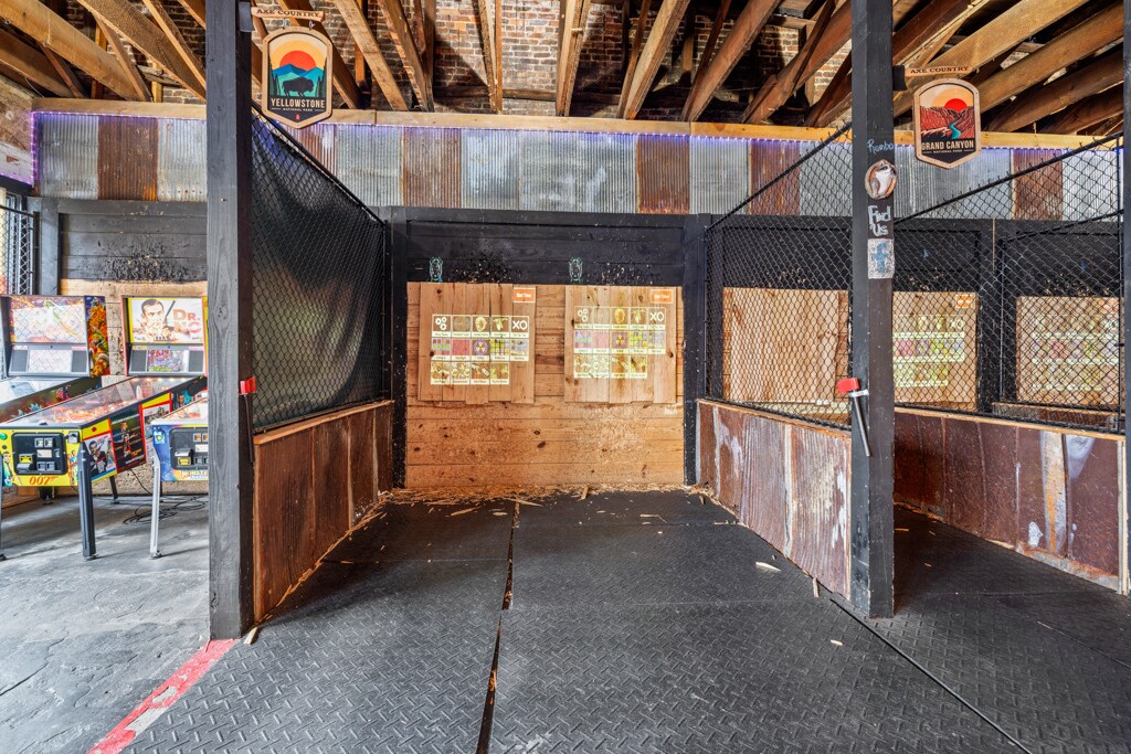
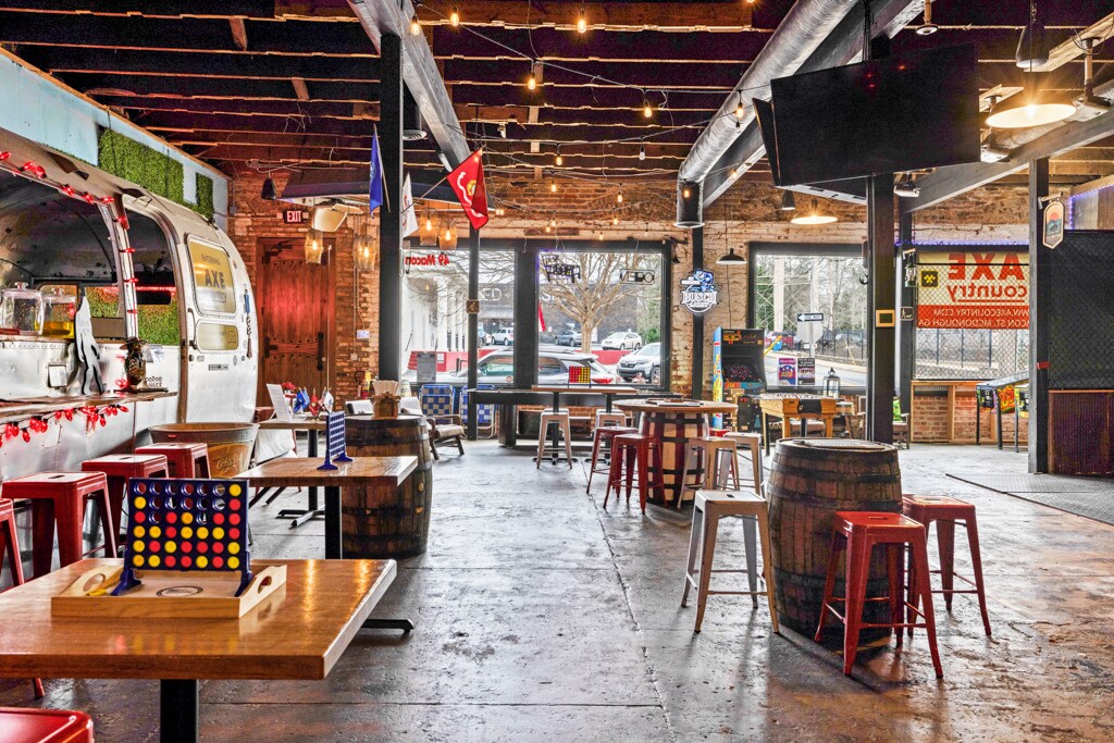
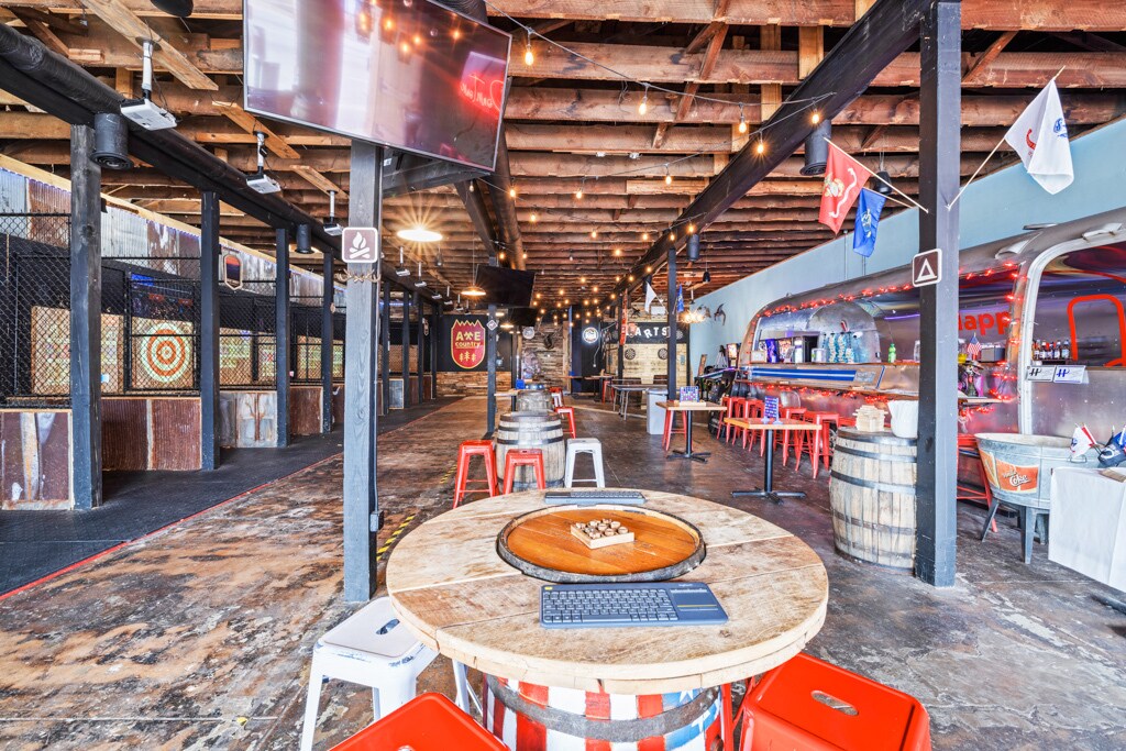
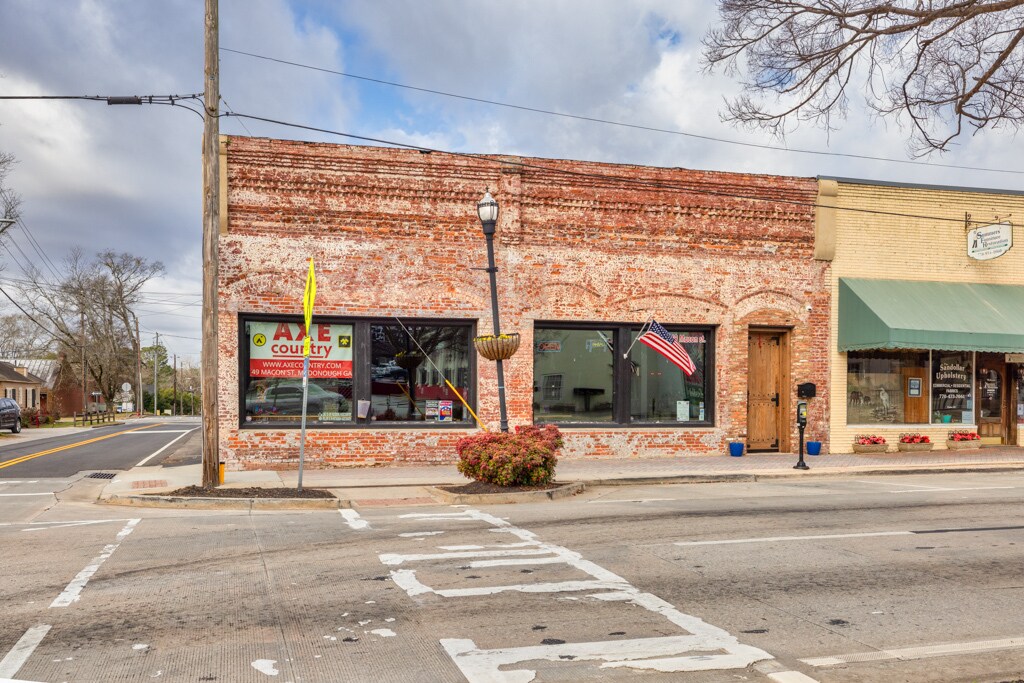
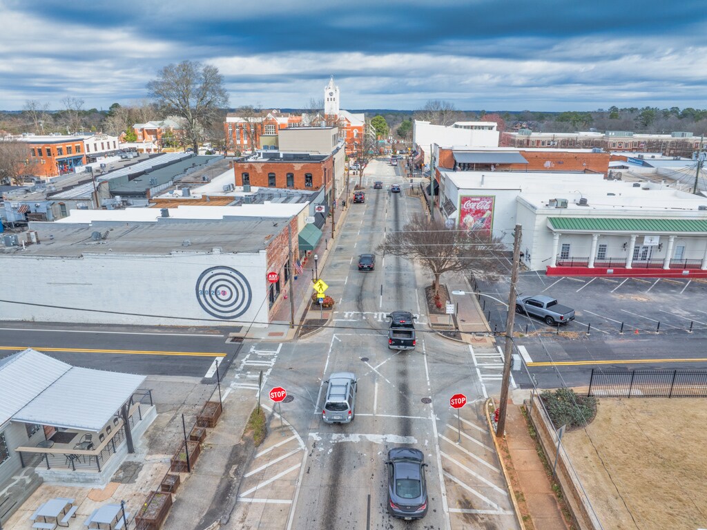
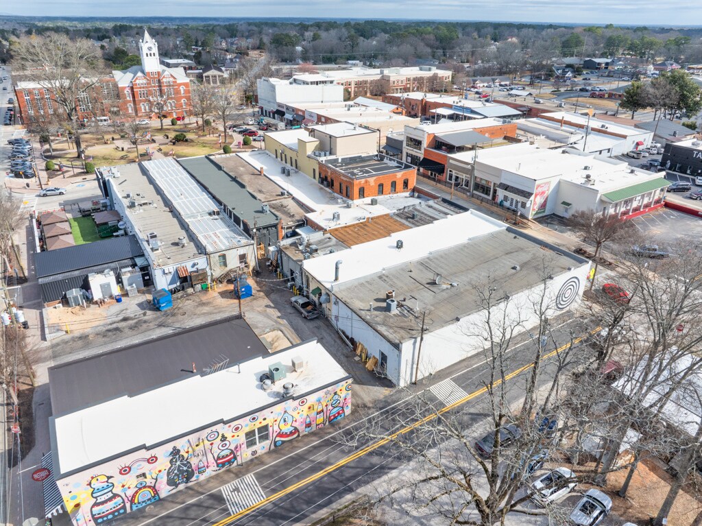
 Building Photo
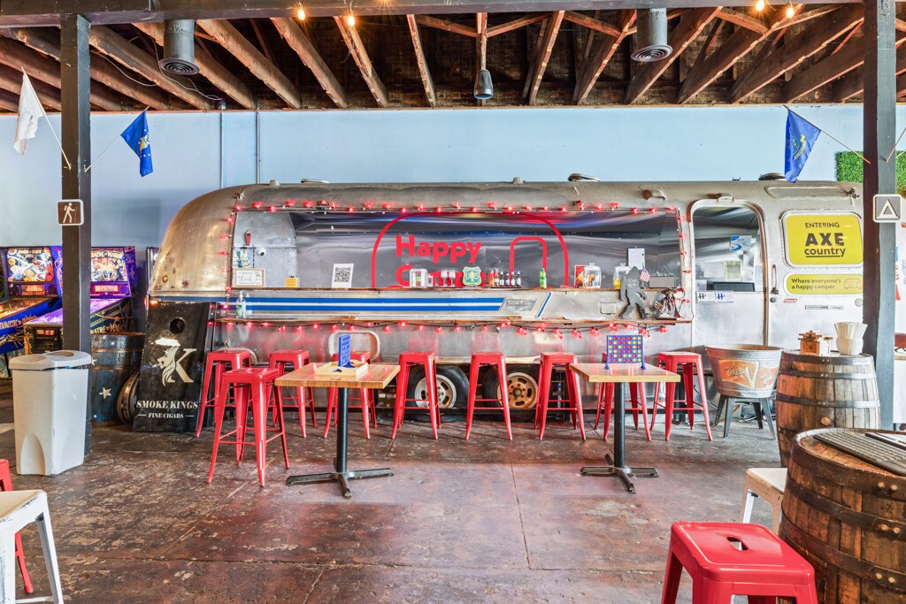
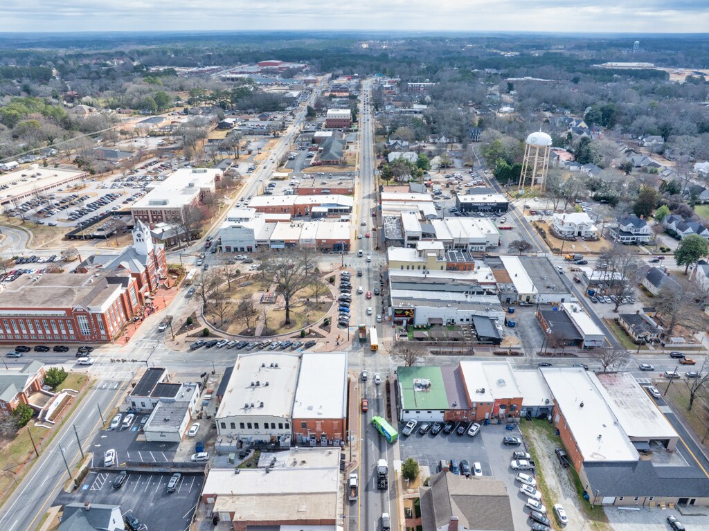
Le service LoopNet et les informations qu’il contient, bien que réputés exacts, sont fournis « en l’état ». LoopNet décline toute responsabilité, garantie expresse ou implicite de quelque nature que ce soit.