Votre e-mail a été envoyé.

1202 S Miami Blvd Lot | Résidentiel | 9,72 ha | À vendre | Durham, NC 27703
Certaines informations ont été traduites automatiquement.
Informations principales sur l'investissement
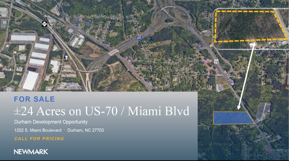
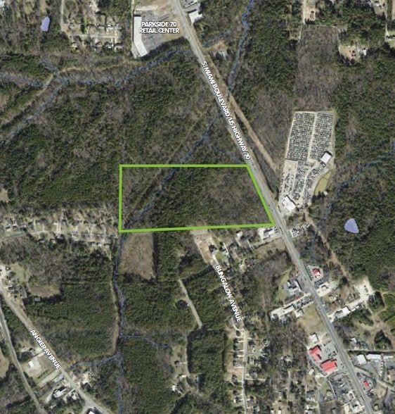
- ±24-acre raw land positioned along US-70 with 660 feet of frontage.
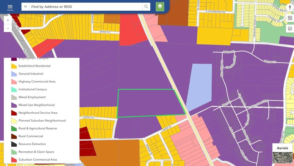
- Mixed Use Neighborhood land use designation encourages a blend of residential and non-residential development.
- City water and sewer available; no existing improvements on the tract.
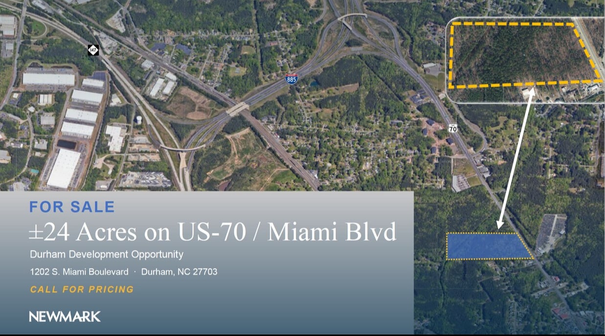
- Within two miles of Research Triangle Park and near Downtown Durham.
- Accessible to major regional transport routes including I-40, I-85, and I-540, as well as Raleigh-Durham International Airport.
Résumé analytique
Zoned RS-20.
City water / sewer available.
Future Place Type: Mixed Use Neighborhood (MUN)
(https://www.engagedurham.com/DocumentCenter/View/599/Durham-Comprehensive-Plan_Adopted_October2023)
NC DOT has long-term plans to expand US 70 (https://www.ncdot.gov/projects/us-70-durham/Pages/default.aspx)
Phase I and wetland delineation files available (NDA required)
Call for pricing guidance
Informations sur l’immeuble
1 Lot disponible
Lot
| Surface du lot | 9,72 ha |
| Surface du lot | 9,72 ha |
Call for pricing guidance
Description
±24.02-acre site located at 1202 S. Miami Boulevard in South Durham. The property is positioned along US-70 with approximately 660 feet of road frontage. It is currently zoned RS-20 and identified in the city’s comprehensive plan for Mixed Use Neighborhood. The parcel is located near Research Triangle Park and connections to I-40, I-85, and I-540. Water and sewer services are available at the site. The land consists of gently sloping, raw terrain with no prior grading or infrastructure in place.
Taxes foncières
| Numéro de parcelle | 158189 | Évaluation des aménagements | 0 € |
| Évaluation du terrain | 1 701 149 € | Évaluation totale | 1 701 149 € |
Taxes foncières



Présenté par
1202 S Miami Blvd
Hum, une erreur s’est produite lors de l’envoi de votre message. Veuillez réessayer.
Merci ! Votre message a été envoyé.