|

|
Certaines informations ont été traduites automatiquement.
BILAN FINANCIER (RÉEL - 2022) |
ANNUEL | ANNUEL PAR m² |
|---|---|---|
| Revenu de location brut |
151 199 €

|
256,30 €
|
| Autres revenus |
49 863 €
|
84,52 €
|
| Perte due à la vacance |
-
|
-
|
| Revenu brut effectif |
201 063 €
|
340,82 €
|
| Taxes |
6 303 €
|
10,68 €
|
| Frais d’exploitation |
43 560 €
|
73,84 €
|
| Total des frais |
49 863 €
|
84,52 €
|
| Résultat net d’exploitation |
151 199 €
|
256,30 €
|
| RUE COLLECTRICE | RUE TRANSVERSALE | VOLUME DE TRAFIC | ANNÉE | Distance |
|---|---|---|---|---|
| 10th St | Community Rd, S | 48 118 | 2018 | 0,36 km |
| Community Rd | 10th St, N | 58 052 | 2023 | 0,63 km |
| 10th St | Crossroads Pkwy, NW | 62 526 | 2024 | 0,66 km |
| 10th St | I- 10, E | 5 023 | 2023 | 1,00 km |
| 10th St | I- 10, S | 3 360 | 2023 | 1,00 km |
| Darran Street | David St, NW | 358 | 2025 | 1,01 km |
| I- 10 | 10th St, SW | 5 854 | 2023 | 1,06 km |
| 10th St | I- 10, NE | 4 257 | 2023 | 1,24 km |
| I- 10 | 10th St, NE | 5 289 | 2023 | 1,26 km |
| Orange Grove Blvd | Kings St, W | 8 349 | 2025 | 1,26 km |


| Numéro de parcelle | 0809D-03-001.000 | Évaluation totale | 443 834 € (2024) |
| Évaluation du terrain | 0 € (2024) | Impôts annuels | 6 303 € (10,68 €/m²) |
| Évaluation des aménagements | 0 € (2024) | Année d’imposition | 2022 Payable 2023 |
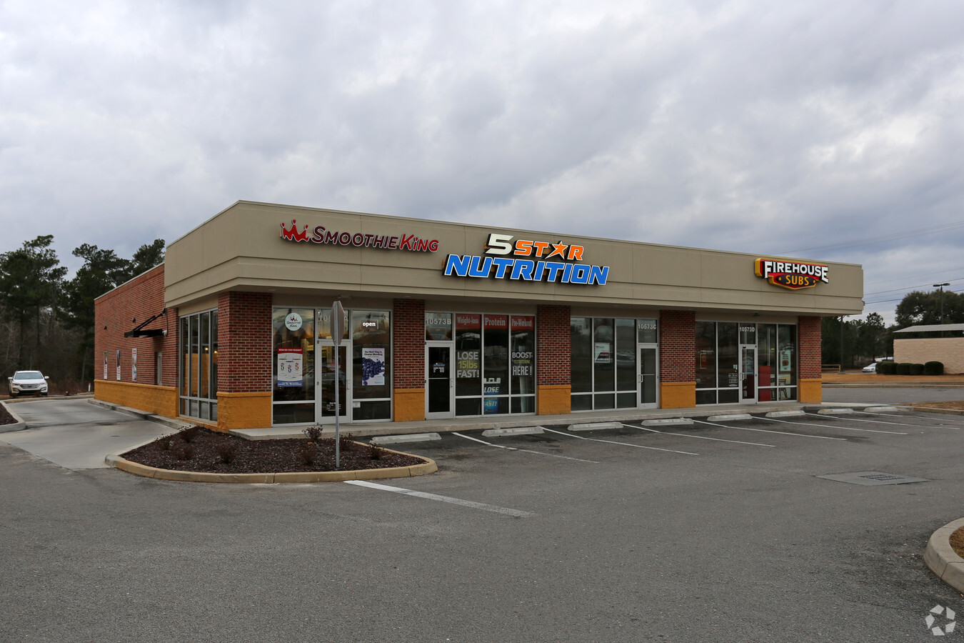
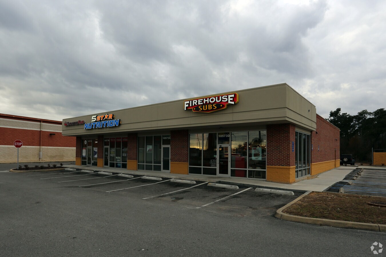 Building Photo
 Building Photo
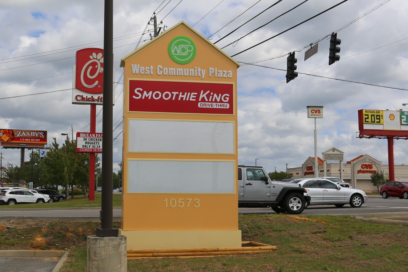 Signage
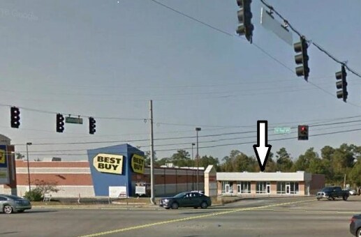
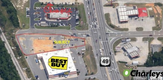 Aerial
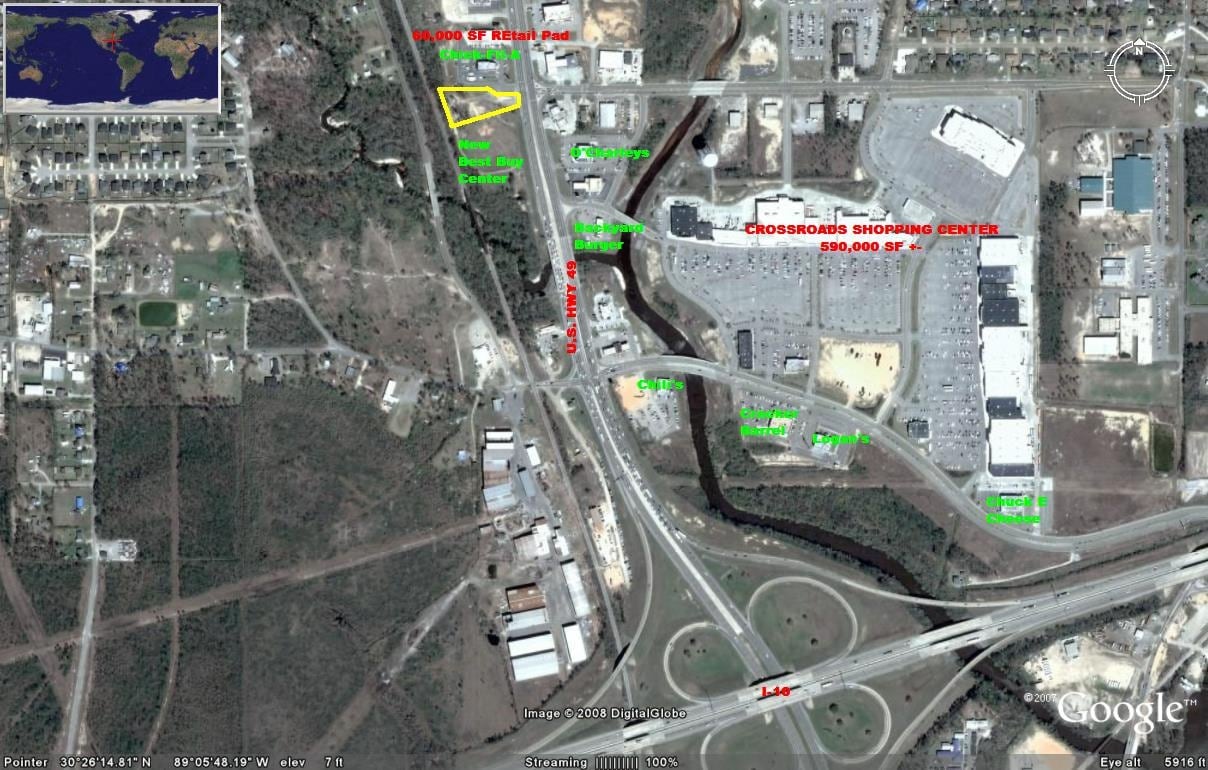 Aerial
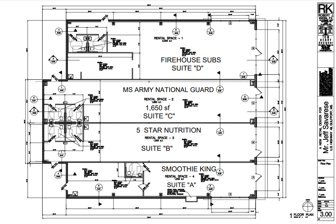 Floor Plan
Le service LoopNet et les informations qu’il contient, bien que réputés exacts, sont fournis « en l’état ». LoopNet décline toute responsabilité, garantie expresse ou implicite de quelque nature que ce soit.